
A topographic survey is a detailed measurement of the elevation and surface features of a piece of land. It captures both natural and man-made elements,…

A topographic survey is a detailed measurement of the natural and man-made features of a piece of land, focusing primarily on elevation and surface characteristics.…
A topographic map is one of the most valuable tools for anyone who needs to understand the shape and elevation of the land such as…

Topography is a fundamental concept in geography, earth science, and land-related professions. It refers to the arrangement of natural and man-made features on the surface…
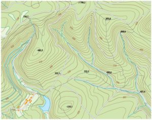
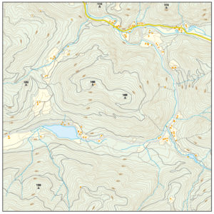
Contour lines are one of the most important features on a topographic map. They provide a visual way to represent the shape of the land,…
A topographic map is one of the most detailed and informative tools used to understand the surface of the Earth. A topographic map reveals not…

A land survey of the property that you want to develop is what would be required to prepare an existing conditions plan that would be…

Wetlands are ground areas that frequently stay inundated with water after rainfall events. These areas are usually wet and characterized by the presence of vegetation…

A topographic map can provide a large amount of valuable information if it is used properly. The following are six steps for how to properly…

There are many parts involved in the area of land surveying and it takes years of training and experience to learn about it all. The…