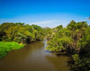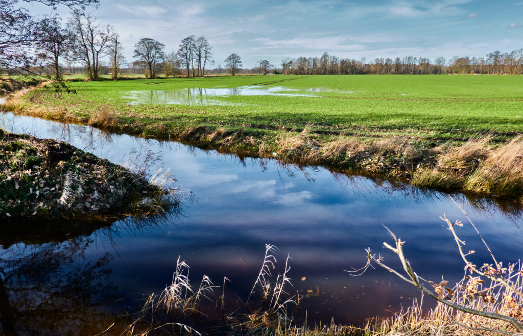
A drainage area is the area of land upon which rainwater falls during a storm event before running downstream along the land. You might also hear drainage areas for larger areas be referred to as drainage basins. These larger areas would be for areas that drain to points within a waterway such as a creek or river. Drainage areas can also be determined for small areas draining to stormwater inlets, swales, or stormwater management basins.
A drainage divide is the edge of a drainage boundary and is called a divide because it represents the dividing line between adjacent drainage areas.
Drainage areas are usually expressed in units of acres but they can sometimes be expressed in units of square miles for very large areas. An acre is equal to 43,560 square feet and a square mile is equal to 640 acres.
Where a Drainage Area Is Used
A drainage area is used in a couple of places during the land development project design process. Drainage areas are required for the design of storm inlet locations, storm sewer pipe sizes, swale sizes, and stormwater management system sizes.
Drainage areas are also required for the design and analysis of culverts and bridges and for a floodplain analysis for determining a floodplain boundary.
The main reason for determining a drainage area is to figure out the stormwater flow rate for that area.
How to Determine a Drainage Area
The followings are some ways for determining a drainage area.
1) Find the drainage area in a stormwater management report.
A stormwater management report is an engineering report that is usually required for a land development project to be approved by the local municipality. This report should contain the various drainage areas that were used to design the stormwater conveyance system and the stormwater management system.
2) Locate the drainage area in a floodplain study report.
If you are looking for a drainage area for a waterway for which you know there has been a floodplain analysis, the floodplain study report would contain the drainage area used for the analysis.
3) Delineate the drainage area on a plan.
Without having existing information available, a drainage area would have to be delineated and measured on a topographic map or a survey plan that contains existing contours. For a proposed land development project, a plan showing proposed contours might have to be used. Drainage areas are usually determined by a civil engineer.
A Major Component of Land Development
The proper delineation and use of drainage areas is a major component of land development. This allows for the design of stormwater conveyance systems and stormwater management systems that function correctly and for the proper delineation of floodplain boundaries.
Related: What Is Hydrology in Civil Engineering?
Related: Recommendations for Hydrology Books