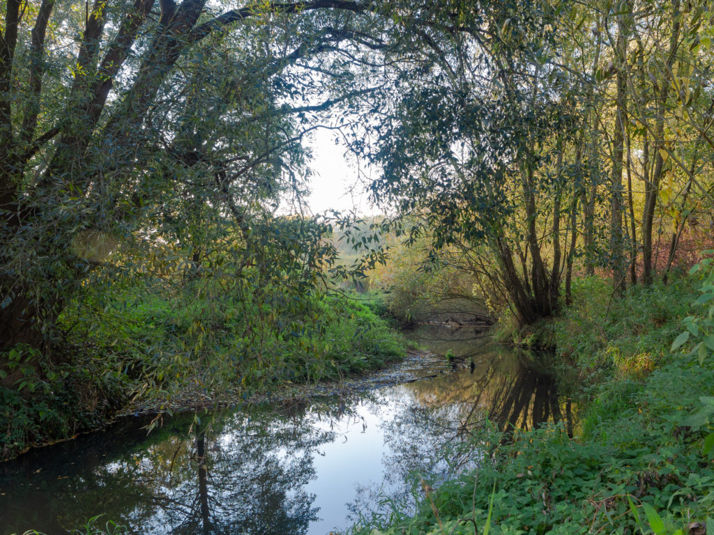
A riparian buffer is a zone designated on a land development plan that is located along a waterway and that is comprised of vegetation that is regulated with regard to what kind of construction can take place within this area.
The width of this buffer zone is based upon local or state regulations.
How a Riparian Buffer Is Determined
Once you find out any required riparian buffer widths that have to be shown on your land development plans, the buffers themselves are determined by offsetting a line on both sides of the waterway by a distance equal to the required buffer width from either the top of the bank of the waterway or the centerline of the waterway.
If there are two required buffer zones, you would then have to offset another boundary line by the required buffer width of the second zone and from the boundary of the first buffer zone.
How a Riparian Buffer Can Affect a Land Development Project
Within the municipal ordinance or other regulations that require the display of riparian buffers on your plans, you would find a list of what you can and cannot do within these riparian buffer zones. Knowing this information during the planning phase of your project could affect your proposed layout.
There could also be requirements involving the restoration of riparian buffer areas that would be impacted by your proposed land development.
Consult With Your Civil Engineer
The civil engineer designing your project should be familiar with the regulations of your municipality and state and should know about any required riparian buffer areas that have to be shown on your plans.
Once these buffer zones are properly shown on the plans, you can then discuss with the engineer how they could possibly affect your project.