Once you decide to proceed with a new land development project, there are steps involved that pertain specifically to land surveying that would be required to properly design your land development plans.
The following are the eight main steps taken by a land surveyor that could be involved with a land development project from the start to after construction.
1) Obtain existing deeds and property information.
2) Prepare a base boundary plan.
3) Do the field survey.
4) Prepare the existing conditions plan.
5) Resolve any boundary issues.
6) Obtain any other required survey information.
7) Prepare the construction stake-out survey.
8) Prepare the as-built survey.
1. Obtain Existing Deeds and Property Information
The start of a new land development project requires a base survey plan (also referred to as the existing conditions plan) showing the existing conditions of the land to be developed. These existing conditions would include the existing property boundary lines of the land parcel, the boundary lines of adjoining properties, and any existing agreement and easement documents that could impact the proposed development.
This information would be found in existing property deeds and other legal documents that would be obtained and reviewed by the land surveyor involved with your project.
Advertisement
2. Prepare a Base Boundary Plan
Once all of the applicable documents have been obtained and reviewed, the start of the base survey plan would be prepared using computer-aided drafting software that shows a lot of the information contained within these documents. This information would include boundary line distances, boundary line orientations, parcel areas, right-of-way areas, and easements.
3. Do the Field Survey
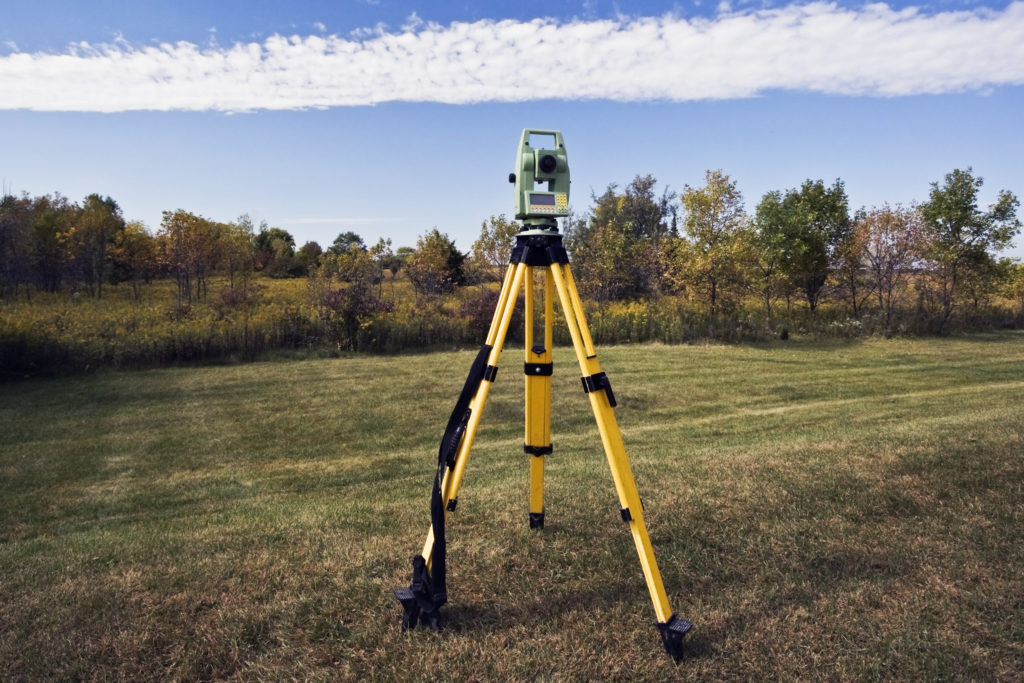
The next step would involve the land surveyor using specialized survey equipment to do the field work to obtain the data required to develop the rest of the base survey plan. The data obtained would be used to verify the placement of any existing property markers (such as pins and monuments), to locate existing buildings and other structures, to locate edges of existing paved areas and other impervious areas, and to obtain existing elevation information for the site.
If the project involves any wetlands that have been delineated by an environmental scientist, the land surveyor might also have to survey the delineation so that an accurate boundary for the existing wetlands area can be shown on the base survey plan so that any potential impacts on the existing wetlands from the proposed land development can be properly evaluated.
4. Prepare the Existing Conditions Plan
Once the field survey work is completed, the results of that work would then have to be added to the base boundary plan to create the existing conditions plan for the site.
The existing conditions plan for your site would include the existing property boundaries and topography including contours showing the elevation differences within the site.
5. Resolve Any Boundary Issues
Another step of the land surveying process is to compare the boundary lines of your site (that were drawn using the information found in existing deed documents) with existing property markers found during the field survey.
Once any discrepancies related to the boundaries have been resolved, then the existing conditions plan should be ready to pass on to the land development engineer that would be designing the proposed conditions of your land development plan.
6. Obtain Any Other Required Survey Information
Throughout the design of your project, the design engineer might discover that additional survey information is required for the approval of the land development plans. The extra information could include such items as additional topography data for the site and the location of individual trees.
Once the land surveyor has been able to obtain this additional information, the existing conditions plan would have to be revised accordingly.
7. Prepare the Construction Stake-out Survey
After your land development plan has been designed and approved for construction, the surveyor might be asked to do a construction stake-out survey. This involves surveying and marking with stakes the various parts of the proposed project so that it is constructed correctly.
These parts could include building corners, edges of paving, and stormwater management basin components.
Advertisement
8. Prepare the As-Built Survey
The final step of the land surveying process for a full land development project would be the preparation of as-built survey plans showing what was actually constructed. This is something that could be required by a municipality after the construction of a project to compare to the approved design plans.
If a significant difference is found between the as-built plans and the design plans, the construction contractor might have to go back out to the site to correct the issue. Once the issue has been fixed, the surveyor would most likely have to do a survey of the corrected area again to be sure that what is in the as-built plans matches what is in the design plans.
An Important Part of a Land Development Design
A land development design can involve a lengthy and complicated process and an important part of that overall process is the use of land surveying services. At some point during the design and construction of your project, you should expect to be communicating with the land surveyor assigned to your project to discuss any issues related to surveying.
Related: 6 Times When It Might Be a Good Idea to Hire a Land Surveyor


