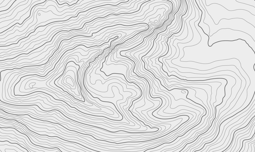
A contour line in land surveying is a two-dimensional representation of an elevation across an area of land that is drawn on a plan or map. It is shown as a line along a path of equal elevation.
If you were to walk along a piece of land along a line that is represented on a plan by a contour line for an elevation of 250 feet, the path you walk would be flat at an elevation of 250 without walking either uphill or downhill.
An existing contour line that is surveyed is usually shown as a dashed line on a plan and is often times screened out (shown as a light gray) in order to not clutter the plan so that other features stand out better.
Where You Would See Contour Lines Created From Surveying
Contour lines created from surveying are shown in existing conditions plans in conjunction with other existing features of the survey area such as buildings, driveways, and roads.
Contour lines are also shown on proposed grading plans to show where proposed grading contours tie into the existing ground.
You would also see contour lines in as-built survey plans that are created after a new project has been constructed.
The Uses of Contour Lines
The following are some of the uses of existing conditions contour lines.
1) Determining the elevation of a given point on a plan.
2) Figuring out which direction on a plan is uphill and which direction is downhill.
3) Delineating drainage areas.
4) Designing a proposed grading plan.
5) Figuring out high points and low points on a plan.
How Contour Lines Are Created
The first step in creating existing conditions contour lines is for the land surveyor to visit the site to be surveyed and collect as many topographic spot elevation measurements within the site as necessary to represent any significant changes in elevation. This would include collecting information for high points, low points, and waterways.
The surveyor would then add all of the collected data to a cad (computer-aided drafting) program that is then used to generate contour lines that are interpolated from the points that were added to the program.
Contour Lines Are an Important Part of a Land Development Plan
Having the existing contour lines at the start of a project is important since the main component of a land development plan is the grading plan which is dependent on having an accurate existing conditions plan.
This is why a surveyor will usually be sent to a site to collect data and then prepare an existing conditions plan before the start of the detailed design of a land development project.