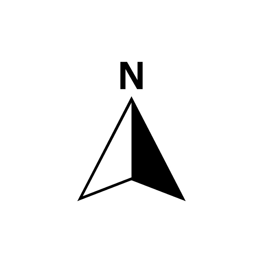
You have probably noticed on most maps that have been created properly a large arrow located somewhere along or near one of the sides of the map. This is the north arrow and there is a lot of information that you can get from this simple symbol.
A north arrow on a map or plan is the graphical representation of the plan view (looking down from above) direction of north on the drawing.
This map symbol can be found in many different forms depending on the person or company that created the drawing. Some north arrows include the letter “N” to represent north while others might have the letters “N”, “S”, “E”, and “W” and corresponding arrow points to represent all four directions of north, south, east, and west. There are also north arrows with no text at all with just the arrow by itself pointing north.
Despite the many variations of the north arrow, the one thing that all plan north arrows have in common is that they have at least the arrow point that points to the north.
On a paper or PDF electronic copy of a map or plan, the north arrow is usually located toward the top of the drawing in one of the corners.
Advertisement
The Importance of a North Arrow
The reason for having a north arrow on a map or plan is to be able to know the orientation of the information in the drawing relative to the direction north. Without the help of this graphic symbol, you would have to locate the area of your plan on a map (where the north direction is known) to determine the orientation of your plan.
If you use a map service you can find online as your reference, you would see a north arrow probably at one of the corners of the screen. Note that if the map service is interactive and allows you to change the orientation of the online map, the orientation of the north arrow would change as well.
The north arrow is especially important if you do not know the area of the plan at all in that it could turn out to be very difficult to find your area of interest on a reference map to determine the proper orientation of the original plan in the absence of a north arrow on the original plan.
The Orientation of the North Arrow
The orientation of your plan information was discussed earlier. Another common characteristic of plan north arrows is the orientation of the north arrow itself.
You will most likely find that most north arrows on a paper or PDF file copy of a plan point in a range of directions from all the way to the east to all the way to the west with the directions in between east and west being toward the north.
Here is another way to explain the orientation. First, imagine if a plan is divided into four equal parts by drawing a line down the middle of the plan and then drawing a line through the middle of the plan in the other direction with each quarter of the plan being designated by its location relative to the middle of the plan.
The first quarter at the top left of the plan would be the northwest quarter, the next quarter at the top right of the plan would be the northeast quarter, the next quarter at the bottom left of the plan would be the southwest quarter, and the last quarter at the bottom right of the plan would be the southeast quarter.
Using this divided plan as a reference, you would most likely find that most north arrows on a plan will show the north direction in either the northwest or northeast quarter of a plan. It is rare that you would see the north arrow pointing in the southwest or southeast quarters.
Advertisement
What If The Map or Plan Does Not Have a North Arrow?
Even if a map or plan does not have a north arrow, the drawing can still be useful. You would still be able to take measurements and you would still be able to see where the different elements within the plan are located relative to each other in the plan. Also, as mentioned previously, you could determine the orientation of the plan using a map with a known orientation as a reference.
However, if you are unable to find your plan area using a reference map or you would like to know how the elements of your plan relate to areas outside and adjacent to your plan, you would want to have a north arrow added to the drawing. Knowing the direction of north in your plan would allow you to see how the information in your plan relates to the information found in other plans and places near the area of your plan at least on a directional basis.
If you had the plan created for you by a company, you could simply contact that company and let them know of the issue so that they can add a north arrow and send you the revised plan.
You Should Not Ignore the Importance of the North Arrow
Having a north arrow on a map is important for determining how your area of interest relates to other areas on the same map and to other areas outside of your map.
As simple as something like a north arrow might seem, this is something that should not be ignored. The north arrow is a valuable part of a map or plan that can be used to properly evaluate the site you are analyzing.
Related: 11 Common Parts of a Topographic Map


